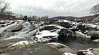
Salmon Falls Below the Potholes
Shelburne, Massachusetts, USA
17:02 UTC (12:02pm EST)
© 2004 William B. Chase, All Rights Reserved.
USA-Canada / USA-Massachusetts
Lat: 42° 36' 9" N
Long: 73° 45' 20" W
Precision is: Unknown / Undeclared.


 Tap or click the zoom icon in the bottom right corner of the picture to switch between in-page and fullscreen view