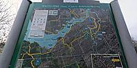
Watts Creek Recreational Pathway
Kanata, Ontario, Canada
Friday, March 23, 2012, 18:30 (EST)
© 2012 Robert Agnel, All Rights Reserved.
From here to Parliament Hill in central Ottawa is 22.6 km.
Lat: 45° 19' 38" N
Long: 76° 54' 19" W
Elevation: 88 m
Precision is: High. Pinpoints the exact spot.


 Tap or click the zoom icon in the bottom right corner of the picture to switch between in-page and fullscreen view